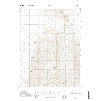
2020 Map of Boulter Peak
USGS Topo · Published 2020About this map
Boulter Peak stands as the prominent height in this 2020 study of the high desert terrain where Utah, Tooele, and Juab counties converge. The landscape is defined by the high elevations of the East Tintic Mountains, which separate the broad expanses of Rush Valley to the northwest and Cedar Valley to the northeast. A complex network of drainages such as Black Rock Canyon, Mill Canyon, and Miners Canyon cuts through the slopes, indicating a history of seasonal water flow and resource extraction in the region.
Find a feature on this map
38 named features on this map. Tap any name to fly to it.
Don’t see what you’re looking for? This feature index may not catch every label — zoom into the map to look around manually.
Map Details
Editions of this 2020 Boulter Peak Map
This is the sole edition of this map. No revisions or reprints were ever made.
Other maps of this area

1885 · Sevier Desert
USGS Topo · 1:250,000

1885 · Tooele Valley
USGS Topo · 1:250,000

1947 · Fivemile Pass
USGS Topo · 1:62,500

1947 · Allens Ranch
USGS Topo · 1:24,000

1947 · Boulter Peak
USGS Topo · 1:24,000

1947 · Goshen Pass
USGS Topo · 1:24,000

1949 · Eureka
USGS Topo · 1:24,000

1949 · Allens Ranch
USGS Topo · 1:24,000

1949 · Fivemile Pass
USGS Topo · 1:24,000

1949 · Goshen Pass
USGS Topo · 1:24,000