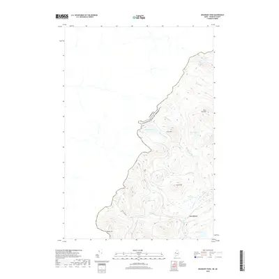
2018 Map of Boundary Pond
USGS Topo · Published 2018About this map
Canada and the United States meet along the international border in Franklin County, where the settlement of Lowelltown marks a point of historical connection near the headwaters of the Moose River. This 2018 survey illustrates a high-altitude landscape defined by logging roads like Lowelltown Rd and 400 Rd that navigate the drainages between Dome Mtn and Lowell Hill. The hydrology of this border region is complex, with Boundary Brook and Mill Brook feeding into numerous mountain basins including Mud Pond, Beattie Pond, and the namesake Boundary Pond. While the Canadian side appears largely unmapped in this specific sheet, the American side shows a dedicated network of forestry tracks and fire roads, such as 411 Rd, which provide access to these remote watersheds and summits like Clear Pond Mtn.
Find a feature on this map
25 named features on this map. Tap any name to fly to it.
Don’t see what you’re looking for? This feature index may not catch every label — zoom into the map to look around manually.
Map Details
Editions of this 2018 Boundary Pond Map
This is the sole edition of this map. No revisions or reprints were ever made.
Other maps of this area

1928 · Chain Lakes
USGS Topo · 1:48,000

1928 · Skinner
USGS Topo · 1:48,000

1931 · Skinner
USGS Topo · 1:62,500

1932 · Arnold Pond
USGS Topo · 1:48,000

1932 · Chain Lakes
USGS Topo · 1:62,500

1935 · Chain Lakes
USGS Topo · 1:62,500

1935 · Arnold Pond
USGS Topo · 1:62,500

1949 · Jackman
USGS Topo · 1:250,000
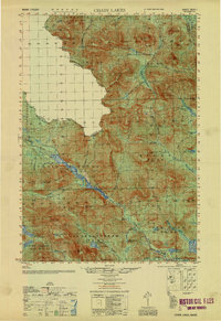
1951 · Chain Lakes
USGS Topo · 1:50,000

1963 · Jackman
USGS Topo · 1:250,000