
1935 Map of Arnold Pond
USGS Topo · Published 1935About this map
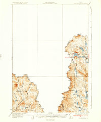
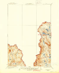
Canada United States border crossings and high-altitude waterways define this remote Maine landscape as surveyed in the early 1930s. The presence of U.S. Customs along Route 4 highlights the region's importance as a northern gateway within the rugged Coburn Gore township. The terrain is characterized by complex township and gore boundaries, including Massachusetts Gore and Seven Ponds T 3 R 5, which are densely packed with glacial water bodies.
Find a feature on this map
42 named features on this map. Tap any name to fly to it.
Don’t see what you’re looking for? This feature index may not catch every label — zoom into the map to look around manually.
Map Details
Editions of this 1935 Arnold Pond Map
3 editions found
Other maps of this area

1927 · Moose Bog
USGS Topo · 1:48,000

1927 · Second Lake
USGS Topo · 1:62,500

1928 · Chain Lakes
USGS Topo · 1:48,000

1928 · Skinner
USGS Topo · 1:48,000

1931 · Cupsuptic
USGS Topo · 1:48,000

1931 · Skinner
USGS Topo · 1:62,500

1931 · Moose Bog
USGS Topo · 1:62,500

1932 · Kennebago Lake
USGS Topo · 1:48,000

1932 · Second Lake
USGS Topo · 1:62,500

1932 · Arnold Pond
USGS Topo · 1:48,000