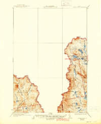
1935 Map of Arnold Pond
USGS Topo · Published 1944About this map
The United States Canada international boundary defines the character of this 1930s topographic survey, which centers on the remote gores and townships of northwestern Maine. A lone U.S. Customs station marks the entry point along the northern border, serving as a rare outpost of official infrastructure in an otherwise undeveloped landscape of watersheds and timber tracts. The terrain is a complex network of high peaks and isolated water bodies, including Louise Mtn and the sprawling Arnold Pond.
Find a feature on this map
43 named features on this map. Tap any name to fly to it.
Don’t see what you’re looking for? This feature index may not catch every label — zoom into the map to look around manually.
Map Details
Editions of this 1935 Arnold Pond Map
3 editions found

Other maps of this area

1927 · Moose Bog
USGS Topo · 1:48,000

1927 · Second Lake
USGS Topo · 1:62,500

1928 · Chain Lakes
USGS Topo · 1:48,000

1928 · Skinner
USGS Topo · 1:48,000

1931 · Cupsuptic
USGS Topo · 1:48,000

1931 · Skinner
USGS Topo · 1:62,500

1931 · Moose Bog
USGS Topo · 1:62,500

1932 · Kennebago Lake
USGS Topo · 1:48,000

1932 · Second Lake
USGS Topo · 1:62,500

1932 · Arnold Pond
USGS Topo · 1:48,000