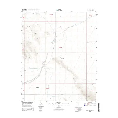
2014 Map of Bouse Hills East
USGS Topo · Published 2014About this map
Bouse and the neighboring settlements of Utting and Vicksburg sit within a landscape defined by desert washes and modern water infrastructure in La Paz County. The Central Arizona Project Aqueduct carves a distinct path through the western part of this territory, bypassing the Bouse Hills and the southern Butler Valley. This 2014 survey reveals the reliance on local drainage patterns, including the prominent Cunningham Wash and Big Granite Wash, which dominate the lowlands between the hills and the Granite Wash Mountains to the southeast. Roads like Grahams Well Rd and Tank Pass Rd provide access to this arid interior, where the high-ground landforms of the Butler Valley provide a stark contrast to the surrounding alluvial plains and drainage basins.
Find a feature on this map
23 named features on this map. Tap any name to fly to it.
Don’t see what you’re looking for? This feature index may not catch every label — zoom into the map to look around manually.
Map Details
Editions of this 2014 Bouse Hills East Map
This is the sole edition of this map. No revisions or reprints were ever made.
Other maps of this area

1923 · Signal
USGS Topo · 1:250,000

1942 · Signal
USGS Topo · 1:250,000

1942 · Vicksburg
USGS Topo · 1:250,000

1950 · Prescott
USGS Topo · 1:250,000

1954 · Prescott
USGS Topo · 1:250,000

1954 · Phoenix
USGS Topo · 1:250,000

1957 · Phoenix
USGS Topo · 1:250,000

1958 · Prescott
USGS Topo · 1:250,000

1958 · Phoenix
USGS Topo · 1:250,000

1959 · Prescott
USGS Topo · 1:250,000