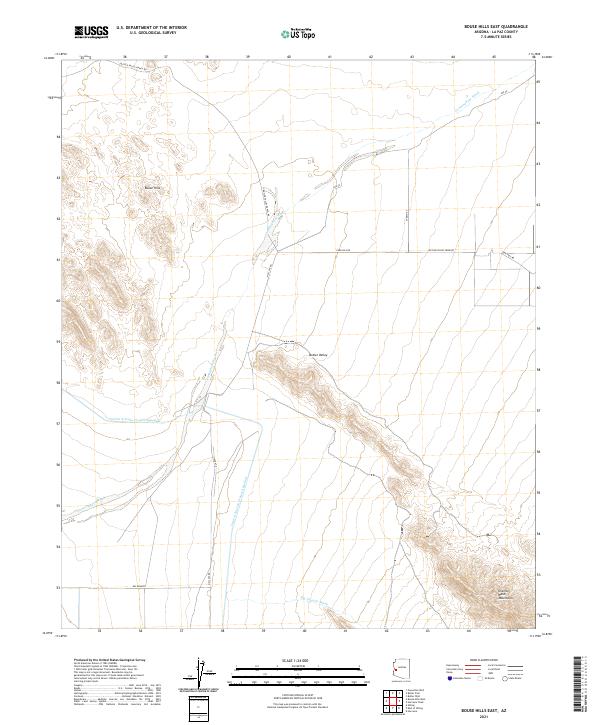
2021 Map of Bouse Hills East
USGS Topo · Published 2021About this map
Butler Valley forms the central focus of this arid landscape, a broad desert basin defined by the surrounding Bouse Hills and the Granite Wash Mountains. The most prominent modern infrastructure is the Central Arizona Project Aqueduct, which cuts a distinct path through the valley floor, south of where Cunningham Wash drains toward the west. This 2021 topographic record illustrates the intersection of agricultural and desert interests, with roads like Butler Valley Farm Rd and Butler Valley Ranch Rd serving the remote homesteads and ranching tracts. Intermittent drainage patterns, such as Big Granite Wash, underscore the seasonal hydrology of the region, while the southern reaches near Big Granite show the transition into more mountainous terrain.
Find a feature on this map
23 named features on this map. Tap any name to fly to it.
Don’t see what you’re looking for? This feature index may not catch every label — zoom into the map to look around manually.
Map Details
Editions of this 2021 Bouse Hills East Map
This is the sole edition of this map. No revisions or reprints were ever made.
Other maps of this area

1923 · Signal
USGS Topo · 1:250,000

1942 · Signal
USGS Topo · 1:250,000

1942 · Vicksburg
USGS Topo · 1:250,000

1950 · Prescott
USGS Topo · 1:250,000

1954 · Prescott
USGS Topo · 1:250,000

1954 · Phoenix
USGS Topo · 1:250,000

1957 · Phoenix
USGS Topo · 1:250,000

1958 · Prescott
USGS Topo · 1:250,000

1958 · Phoenix
USGS Topo · 1:250,000

1959 · Prescott
USGS Topo · 1:250,000