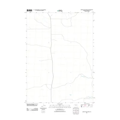
2011 Map of Bovee Valley West
USGS Topo · Published 2011About this map
Snake River winding through the southeastern portion of this Sheridan County quadrangle provides the primary geographical landmark in an otherwise open and sparse landscape. This 2011 survey by the U.S. Geological Survey illustrates the modern configuration of rural roads and hydrology in the Bovee Valley West region. The mapping emphasizes the natural watercourses and the low-density development characteristic of this part of Nebraska. The documentation reflects the state of the terrain as of 2010 and 2011, providing a record of the drainage patterns and secondary transport routes that define the area's physical geography.
Find a feature on this map
1 named feature on this map. Tap any name to fly to it.
Don’t see what you’re looking for? This feature index may not catch every label — zoom into the map to look around manually.
Map Details
Editions of this 2011 Bovee Valley West Map
This is the sole edition of this map. No revisions or reprints were ever made.
Other maps of this area
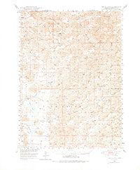
1948 · Twin Lakes
USGS Topo · 1:62,500
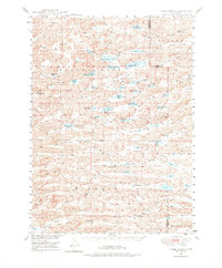
1948 · Spade Ranch
USGS Topo · 1:62,500
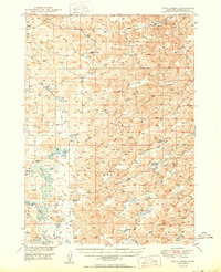
1950 · Twin Lakes
USGS Topo · 1:62,500
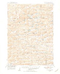
1950 · Spade Ranch
USGS Topo · 1:62,500

1955 · Alliance
USGS Topo · 1:250,000

1957 · Alliance
USGS Topo · 1:250,000

1958 · Alliance
USGS Topo · 1:250,000
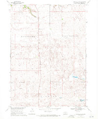
1969 · Rushville 4 SW
USGS Topo · 1:24,000
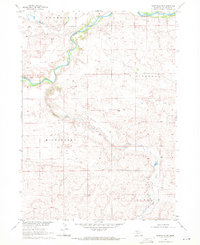
1969 · Rushville SE
USGS Topo · 1:24,000
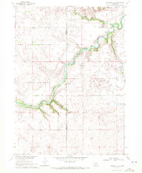
1969 · Rushville 4 NE
USGS Topo · 1:24,000