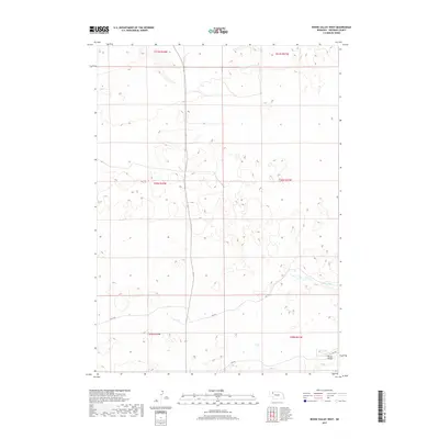
2017 Map of Bovee Valley West
USGS Topo · Published 2017About this map
Bovee Valley defines the southern landscape of this Sheridan County region, where the terrain is marked by the winding course of the Snake River. This 2017 survey reflects a largely undeveloped pocket of Nebraska, dominated by section lines and a sparse network of rural routes. The placement of 457th Trl and 456 Trl indicates the persistent reliance on trail-grade roads to navigate the undulating sandhills topography. Unlike more populated areas, this quadrant is defined by its lack of named settlements, focusing instead on the hydrography and the Public Land Survey System grid, which includes portions of townships t31n r42w through t29n r41w. The map serves as a clear record of land division and natural water features in a high-plains environment where the river remains the primary landmark.
Find a feature on this map
13 named features on this map. Tap any name to fly to it.
Don’t see what you’re looking for? This feature index may not catch every label — zoom into the map to look around manually.
Map Details
Editions of this 2017 Bovee Valley West Map
This is the sole edition of this map. No revisions or reprints were ever made.
Other maps of this area
1948 · Twin Lakes
USGS Topo · 1:62,500
1948 · Spade Ranch
USGS Topo · 1:62,500
1950 · Twin Lakes
USGS Topo · 1:62,500
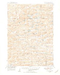
1950 · Spade Ranch
USGS Topo · 1:62,500

1955 · Alliance
USGS Topo · 1:250,000

1957 · Alliance
USGS Topo · 1:250,000

1958 · Alliance
USGS Topo · 1:250,000
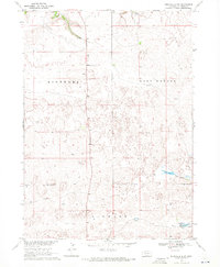
1969 · Rushville 4 SW
USGS Topo · 1:24,000
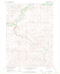
1969 · Rushville SE
USGS Topo · 1:24,000
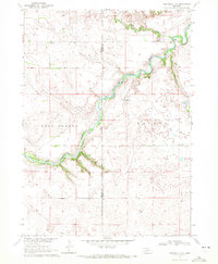
1969 · Rushville 4 NE
USGS Topo · 1:24,000