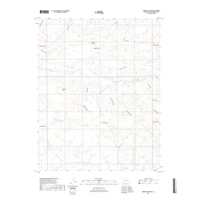
2019 Map of Bowdish Canyon
USGS Topo · Published 2019About this map
McElmo Canyon dominates this high desert landscape in Montezuma County, where deep incisions into the earth reveal a complex network of drainages and elevated plateaus. The topography is defined by prominent landforms such as Cannon Ball Mesa and Hamilton Mesa, which rise above the surrounding canyons and basins. Water courses, including McElmo Cr and its tributaries like Littlewater Cr, have carved through the sandstone to create features like Echo Canyon and Rincon Canyon. The map reveals a remote area primarily accessed by rural routes such as Co RD G and Indian RD. This 2019 survey provides an intricate look at the natural boundaries and elevation changes of the Bluewater Basin and the winding course of Bowdish Canyon, highlighting a region where the geological structure dictates the sparse pattern of modern human transit.
Find a feature on this map
31 named features on this map. Tap any name to fly to it.
Don’t see what you’re looking for? This feature index may not catch every label — zoom into the map to look around manually.
Map Details
Editions of this 2019 Bowdish Canyon Map
This is the sole edition of this map. No revisions or reprints were ever made.
Other maps of this area
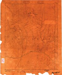
1886 · Abajo
USGS Topo · 1:250,000
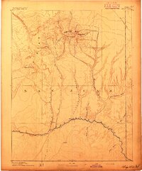
1892 · Abajo
USGS Topo · 1:250,000
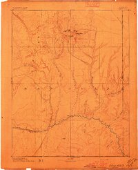
1893 · Abajo
USGS Topo · 1:250,000
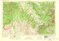
1956 · Cortez
USGS Topo · 1:250,000
1957 · Moqui NW
USGS Topo · 1:24,000
1957 · Aneth 1 NE
USGS Topo · 1:24,000
1957 · Moqui SW
USGS Topo · 1:24,000
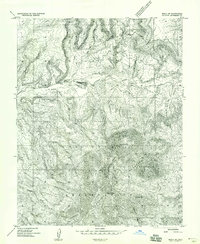
1957 · Moqui SE
USGS Topo · 1:24,000
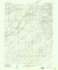
1958 · Sentinel Peak NW
USGS Topo · 1:24,000
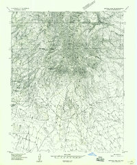
1958 · Sentinel Peak NE
USGS Topo · 1:24,000