Loading...
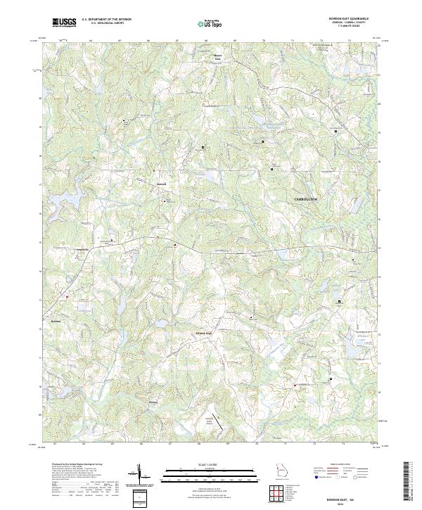
Loading map...2024 Map of Bowdon East
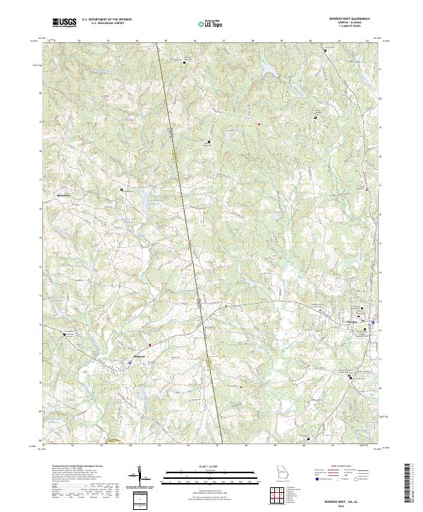
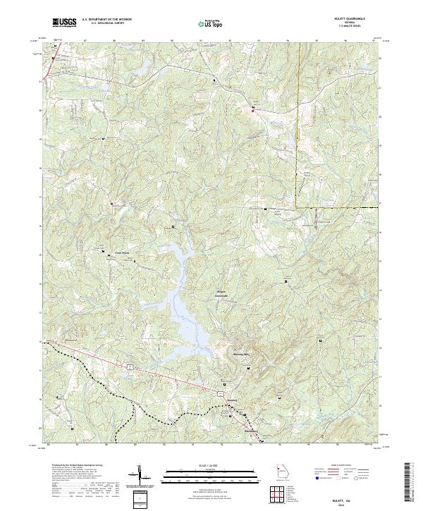
USGS Topo · Published 2024About this map
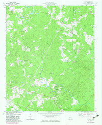
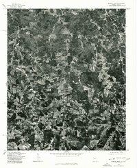
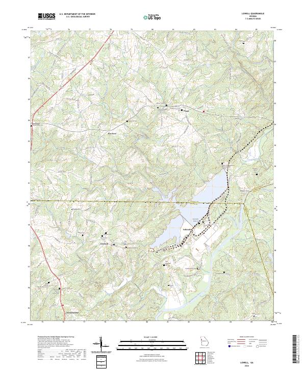
The Little Tallapoosa River and its numerous tributaries, including Turkey Creek and Buffalo Creek, define the landscape of Carroll County as it appeared in this recent survey. Small agricultural communities such as Farmers High, Victory, and Burwell are interspersed with significant local landmarks and public spaces like John Tanner State Park, which encompasses both John Tanner State Park Lake A and its companion, Lake B.
Find a feature on this map
172 named features on this map. Tap any name to fly to it.
Don’t see what you’re looking for? This feature index may not catch every label — zoom into the map to look around manually.
Map Details
Date Portrayed2024
Date Published2024
PublisherU.S. Geological Survey
Map TypeTopographic
Scale1:24000
Physical Dimensions24 x 29 inches
Editions of this 2024 Bowdon East Map
This is the sole edition of this map. No revisions or reprints were ever made.
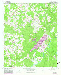
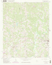
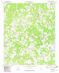
Historical Maps of Farmers High Through Time
9 maps found
Featured Locations
Source Details
SourceU.S. Geological Survey
CopyrightPublic Domain