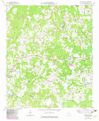
1973 Map of Bowdon East
USGS Topo · Published 1983About this map
Little Tallapoosa River meanders through the southern half of this Carroll County landscape, anchoring a rural region defined by small agricultural communities and numerous country churches. Small settlements like Mount Zion, Victory, and Farmers High are connected by a network of local roads such as Tyus Road, showing the persistent rural character of western Georgia in the early 1970s. The map illustrates a transition toward more modern infrastructure, notably featuring the West Georgia Regional Airport and the recreational grounds of John Tanner State Park. Local history is deeply embedded in the names of landmarks like Smith Chapel, Antioch Ch, and the Rolling Acres Memory Gardens. The topography is marked by several small lakes and named branches, including Lake Clyde and Possum Branch, which feed into the primary river system that flows westward toward the Alabama border.
Find a feature on this map
40 named features on this map. Tap any name to fly to it.
Don’t see what you’re looking for? This feature index may not catch every label — zoom into the map to look around manually.
Map Details
Editions of this 1973 Bowdon East Map
2 editions found
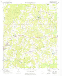
Other maps of this area

1889 · Tallapoosa
USGS Topo · 1:125,000

1892 · Tallapoosa
USGS Topo · 1:125,000

1897 · Tallapoosa
USGS Topo · 1:125,000

1899 · Wedowee
USGS Topo · 1:125,000

1902 · Wedowee
USGS Topo · 1:125,000

1953 · Atlanta
USGS Topo · 1:250,000

1957 · Atlanta
USGS Topo · 1:250,000

1958 · Atlanta
USGS Topo · 1:250,000

1958 · Carrollton
USGS Topo · 1:62,500

1964 · Roopville
USGS Topo · 1:24,000