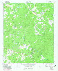
1973 Map of Hulett
USGS Topo · Published 1983About this map
Snake Creek winds southward through the heart of Carroll and Douglas Counties, anchoring a rural landscape defined by historic mill sites and small rural communities. The map highlights the industrial history of the region at Banning Mills and the nearby settlement of Banning, where the terrain begins to drop toward the river valley. Further south, the town of Whitesburg serves as a local hub, situated along the Central of Georgia railroad line.
Find a feature on this map
60 named features on this map. Tap any name to fly to it.
Don’t see what you’re looking for? This feature index may not catch every label — zoom into the map to look around manually.
Map Details
Editions of this 1973 Hulett Map
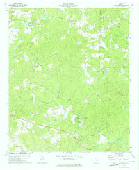
2 editions found
Other maps of this area

1889 · Tallapoosa
USGS Topo · 1:125,000

1891 · Marietta
USGS Topo · 1:125,000

1892 · Tallapoosa
USGS Topo · 1:125,000

1895 · Marietta
USGS Topo · 1:125,000

1897 · Marietta
USGS Topo · 1:125,000

1897 · Tallapoosa
USGS Topo · 1:125,000

1899 · Wedowee
USGS Topo · 1:125,000

1901 · Marietta
USGS Topo · 1:125,000

1902 · Wedowee
USGS Topo · 1:125,000

1953 · Atlanta
USGS Topo · 1:250,000