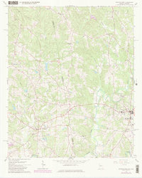
1966 Map of Bowdon West
USGS Topo · Published 1980About this map
The Alabama Georgia state line bisects this landscape, separating the rural communities of Ranburne in Cleburne County from Bowdon in Carroll County. Surveyed in the mid-1960s with 1980 revisions, the map reveals a settlement pattern anchored by small country congregations and schools, including Corinth Ch, Garretts Chapel, and the Hudson Sch. The terrain is defined by the drainage of Lost Creek and Indian Creek as they flow toward the Little Tallapoosa River in the southern reaches. Local infrastructure of the era is clearly marked, from the Radio Tower and Substation in the west to the High Sch and Hospital serving the residents of Bowdon. This document provides a detailed look at the interstate corridor before modern expansion, preserving the locations of family-named landmarks like Flint Ridge Ch and the Town Cem.
Find a feature on this map
27 named features on this map. Tap any name to fly to it.
Don’t see what you’re looking for? This feature index may not catch every label — zoom into the map to look around manually.
Map Details
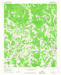
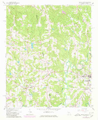
Editions of this 1966 Bowdon West Map
3 editions found
Other maps of this area

1889 · Tallapoosa
USGS Topo · 1:125,000

1892 · Tallapoosa
USGS Topo · 1:125,000

1897 · Tallapoosa
USGS Topo · 1:125,000

1899 · Wedowee
USGS Topo · 1:125,000

1902 · Wedowee
USGS Topo · 1:125,000

1953 · Atlanta
USGS Topo · 1:250,000

1957 · Atlanta
USGS Topo · 1:250,000

1958 · Atlanta
USGS Topo · 1:250,000

1958 · Carrollton
USGS Topo · 1:62,500

1964 · Roopville
USGS Topo · 1:24,000