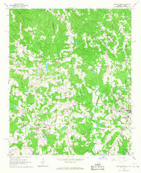
1966 Map of Bowdon West
USGS Topo · Published 1968About this map
The Alabama Georgia state line divides this mid-century landscape, separating Carroll County and Cleburne County along a jagged, undulating border. To the east, the community of Bowdon serves as a local hub, featuring a concentrated network of streets, a High School, and the Hudson School. To the west, the rural settlement of Ranburne anchors the Alabama side of the sheet. The terrain is defined by the drainage systems of the Tallapoosa River and Little Tallapoosa River, with numerous small tributaries like Lost Creek and Indian Creek carving through the wooded hills.
Find a feature on this map
30 named features on this map. Tap any name to fly to it.
Don’t see what you’re looking for? This feature index may not catch every label — zoom into the map to look around manually.
Map Details
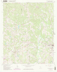
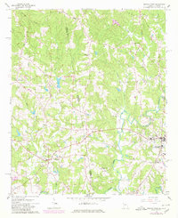
Editions of this 1966 Bowdon West Map
3 editions found
Other maps of this area

1889 · Tallapoosa
USGS Topo · 1:125,000

1892 · Tallapoosa
USGS Topo · 1:125,000

1897 · Tallapoosa
USGS Topo · 1:125,000

1899 · Wedowee
USGS Topo · 1:125,000

1902 · Wedowee
USGS Topo · 1:125,000

1953 · Atlanta
USGS Topo · 1:250,000

1957 · Atlanta
USGS Topo · 1:250,000

1958 · Atlanta
USGS Topo · 1:250,000

1958 · Carrollton
USGS Topo · 1:62,500

1964 · Roopville
USGS Topo · 1:24,000