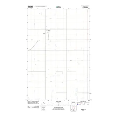
2011 Map of Bowdon
USGS Topo · Published 2011About this map
The prairie town of Bowdon serves as the focal point of this Wells County landscape, where the rural grid of North Dakota is defined by long, straight sections of section-line roads. The town's layout is grounded by its history along the tracks, seen in Railway St W and major thoroughfares like Park Ave and Warrington Ave. Outside the town center, the terrain is dotted with seasonal wetlands and small basins, with the drainage of Rocky Run cutting through the northern reaches of the quadrangle. For those researching local family history, the map specifically locates the Wayside Cemetery just west of the town site and the Mielke Cemetery further east, providing vital markers for genealogy and local heritage. The extensive road network, from 38th Ave NE to 43rd Ave SE, illustrates the organized agricultural settlement patterns that have shaped this region since its early development.
Find a feature on this map
24 named features on this map. Tap any name to fly to it.
Don’t see what you’re looking for? This feature index may not catch every label — zoom into the map to look around manually.
Map Details
Editions of this 2011 Bowdon Map
This is the sole edition of this map. No revisions or reprints were ever made.
Other maps of this area

1945 · Manfred
USGS Topo · 1:62,500

1948 · Fessenden
USGS Topo · 1:62,500

1948 · Manfred
USGS Topo · 1:62,500

1949 · Fessenden SW
USGS Topo · 1:24,000

1949 · Emrick
USGS Topo · 1:24,000

1950 · Manfred SE
USGS Topo · 1:24,000

1951 · Bowdon
USGS Topo · 1:24,000

1951 · Heaton
USGS Topo · 1:24,000

1952 · New Rockford
USGS Topo · 1:250,000

1956 · New Rockford
USGS Topo · 1:250,000