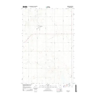
2014 Map of Bowdon
USGS Topo · Published 2014About this map
Bowdon serves as the central hub of this agricultural landscape in Wells County, oriented around the grid of Warrington Ave and the legacy of the local rail line evidenced by Railway St. The surrounding prairie is defined by a strict Section Line road system, including ND-200 and Us-52, which cuts through the undulating terrain north of the headwaters of Rocky Run. For genealogists and local historians, the map preserves the precise locations of significant local burial sites, notably Wayside Cem situated just southwest of the town center and Mielke Cem located further east along the section roads. This survey illustrates the enduring patterns of Great Plains settlement where small town centers and remote cemeteries remain the primary landmarks amidst expansive farm sections.
Find a feature on this map
25 named features on this map. Tap any name to fly to it.
Don’t see what you’re looking for? This feature index may not catch every label — zoom into the map to look around manually.
Map Details
Editions of this 2014 Bowdon Map
This is the sole edition of this map. No revisions or reprints were ever made.
Other maps of this area
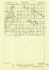
1945 · Manfred
USGS Topo · 1:62,500
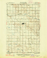
1948 · Fessenden
USGS Topo · 1:62,500
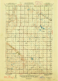
1948 · Manfred
USGS Topo · 1:62,500
1949 · Fessenden SW
USGS Topo · 1:24,000
1949 · Emrick
USGS Topo · 1:24,000
1950 · Manfred SE
USGS Topo · 1:24,000
1951 · Bowdon
USGS Topo · 1:24,000
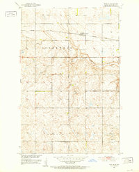
1951 · Heaton
USGS Topo · 1:24,000
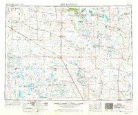
1952 · New Rockford
USGS Topo · 1:250,000
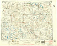
1956 · New Rockford
USGS Topo · 1:250,000