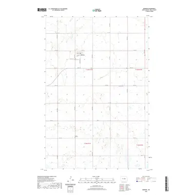
2020 Map of Bowdon
USGS Topo · Published 2020About this map
Bowdon serves as the central hub for this portion of Wells County, situated at the intersection of a grid-iron street network that includes Enville St and Railway St. The surrounding landscape is defined by the winding course of Rocky Run, which cuts through a terrain punctuated by numerous small depressions and wetlands. This area reveals a dense history of early settlement through its scattered rural burial grounds, including Wayside Cem and Peterson Cem just west of the town center. Further afield, the presence of the Fuhrman Family Cem and Mielke Cem illustrates the traditional pattern of family and community interments common across the North Dakota plains. The map's detail provides a clear view of the township and range system, showing the precise organization of sections and county roads like 40th Ave NE that facilitate the agricultural economy of the region.
Find a feature on this map
30 named features on this map. Tap any name to fly to it.
Don’t see what you’re looking for? This feature index may not catch every label — zoom into the map to look around manually.
Map Details
Editions of this 2020 Bowdon Map
This is the sole edition of this map. No revisions or reprints were ever made.
Other maps of this area

1945 · Manfred
USGS Topo · 1:62,500

1948 · Fessenden
USGS Topo · 1:62,500

1948 · Manfred
USGS Topo · 1:62,500

1949 · Fessenden SW
USGS Topo · 1:24,000

1949 · Emrick
USGS Topo · 1:24,000

1950 · Manfred SE
USGS Topo · 1:24,000

1951 · Bowdon
USGS Topo · 1:24,000

1951 · Heaton
USGS Topo · 1:24,000

1952 · New Rockford
USGS Topo · 1:250,000

1956 · New Rockford
USGS Topo · 1:250,000