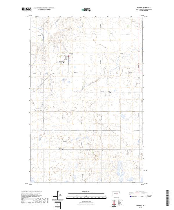
2024 Map of Bowdon
USGS Topo · Published 2024About this map
Bowdon serves as the primary hub of this Wells County landscape, where the local street grid is defined by names like Enville St and Warrington Ave. The town’s historical footprint is deeply tied to the path of Railway St, reflecting the rail-centered development typical of North Dakota's central plains. Outside the residential center, the map reveals a history of family settlement through its dispersed burial sites, including the Peterson Cem and Wayside Cem located near the town, as well as the more isolated Fuhrman Family Cem and Mielke Cem. The natural character of the region is shaped by the presence of Rocky Run and a significant conservation footprint at the Wells County Waterfowl Production Area, which spans several sections in the southeastern portion of the quadrangle.
Find a feature on this map
31 named features on this map. Tap any name to fly to it.
Don’t see what you’re looking for? This feature index may not catch every label — zoom into the map to look around manually.
Map Details
Editions of this 2024 Bowdon Map
This is the sole edition of this map. No revisions or reprints were ever made.
Other maps of this area

1945 · Manfred
USGS Topo · 1:62,500

1948 · Fessenden
USGS Topo · 1:62,500

1948 · Manfred
USGS Topo · 1:62,500

1949 · Fessenden SW
USGS Topo · 1:24,000

1949 · Emrick
USGS Topo · 1:24,000

1950 · Manfred SE
USGS Topo · 1:24,000

1951 · Bowdon
USGS Topo · 1:24,000

1951 · Heaton
USGS Topo · 1:24,000

1952 · New Rockford
USGS Topo · 1:250,000

1956 · New Rockford
USGS Topo · 1:250,000