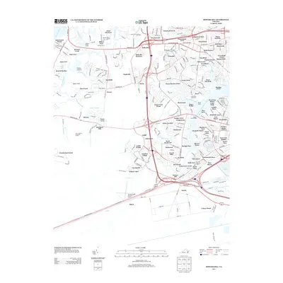
2013 Map of Bowers Hill
USGS Topo · Published 2013About this map
Western Branch Elizabeth River and the Nansemond River define the watery landscape of this Virginia coastal region, where established suburban developments meet historic neck lands. The area is characterized by numerous small inlets and branches, such as Knotts Creek and Quaker Neck Creek, which weave through neighborhoods like Pughsville, Boone, and Belleville. The settlement pattern reflects the mid-to-late 20th-century expansion of Tidewater communities, with named subdivisions like Wynnewood and Pride Homes filling the spaces between the arterial routes of Portsmouth Blvd and W Military Hwy.
Find a feature on this map
117 named features on this map. Tap any name to fly to it.
Don’t see what you’re looking for? This feature index may not catch every label — zoom into the map to look around manually.
Map Details
Editions of this 2013 Bowers Hill Map
This is the sole edition of this map. No revisions or reprints were ever made.
Other maps of this area

1907 · Norfolk
USGS Topo · 1:125,000

1919 · Smithfield
USGS Topo · 1:62,500

1919 · Suffolk
USGS Topo · 1:62,500

1921 · Newport News
USGS Topo · 1:62,500

1940 · Lake Drummond
USGS Topo · 1:62,500

1944 · Norfolk South
USGS Topo · 1:25,000

1945 · Lake Drummond
USGS Topo · 1:62,500

1948 · Norfolk South
USGS Topo · 1:24,000
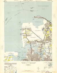
1948 · Norfolk North
USGS Topo · 1:24,000

1949 · Chuckatuck
USGS Topo · 1:24,000