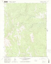
1967 Map of Bowers Peak
USGS Topo · Published 1980About this map
The La Garita Mountains dominate this high-altitude section of the Rio Grande National Forest in Saguache County. Rising to peaks such as Bowers Peak and Boot Mountain, the landscape is defined by its network of historic stock driveways and seasonal watercourses. The presence of the Laughlin Stock Driveway (Jeep) and the La Garita Stock Driveway (Pack) indicates the area's legacy of high-country grazing and seasonal livestock movement through the rugged pass at Moon Pass. Numerous drainages, including South Fork Carnero Creek and La Garita Creek, flow from these summits, providing essential water sources in the semi-arid San Juan range. The map details a complex web of transport for its time, including the Perry Pack Trail and several unpaved routes like California Gulch, which suggest the area's ongoing use for forestry, ranching, and remote access.
Find a feature on this map
24 named features on this map. Tap any name to fly to it.
Don’t see what you’re looking for? This feature index may not catch every label — zoom into the map to look around manually.
Map Details
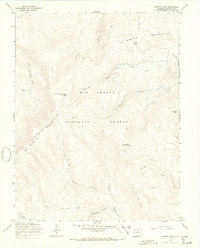
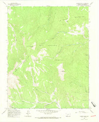
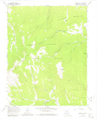
Editions of this 1967 Bowers Peak Map
4 editions found
Other maps of this area

1914 · Creede
USGS Topo · 1:125,000

1915 · Del Norte
USGS Topo · 1:125,000

1916 · Creede
USGS Topo · 1:125,000

1917 · Del Norte
USGS Topo · 1:125,000

1945 · Durango
USGS Topo · 1:250,000

1953 · Durango
USGS Topo · 1:250,000

1954 · Durango
USGS Topo · 1:250,000

1956 · Montrose
USGS Topo · 1:250,000

1959 · Montrose
USGS Topo · 1:250,000

1960 · Montrose
USGS Topo · 1:250,000