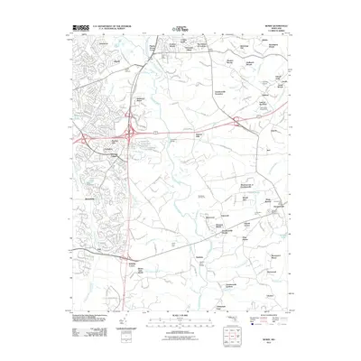
2011 Map of Bowie
USGS Topo · Published 2011About this map
The Little Patuxent River and Patuxent River dominate this landscape, providing a natural drainage system for the evolving suburban corridor between Baltimore and Washington D.C. The transition from agricultural roots to modern residential development is evident in the proximity of Timberlake Farm and Queen Anne Farm to numerous planned communities like Sherwood Manor and Stonegate Village. Historic crossing points remain central to the geography, including the well-known Priest Bridge and the Governor Bridge over the river's main stem. The area around Davidsonville maintains a distinct character, with landmarks like Lakemont Memorial Gardens and the Davidsonville Post Office serving the local community. Significant recreational and utility features, such as the Renditions Golf Course and the Lake of the Pines Dam, illustrate the 21st-century modification of the Maryland terrain.
Find a feature on this map
85 named features on this map. Tap any name to fly to it.
Don’t see what you’re looking for? This feature index may not catch every label — zoom into the map to look around manually.
Map Details
Editions of this 2011 Bowie Map
This is the sole edition of this map. No revisions or reprints were ever made.
Other maps of this area

1892 · Laurel
USGS Topo · 1:62,500

1892 · Owensville
USGS Topo · 1:62,500

1894 · Laurel
USGS Topo · 1:62,500

1894 · Relay
USGS Topo · 1:62,500

1895 · Owensville
USGS Topo · 1:62,500

1897 · Laurel
USGS Topo · 1:62,500

1899 · Patuxent
USGS Topo · 1:125,000

1900 · Washington
USGS Topo · 1:62,500

1905 · Owensville
USGS Topo · 1:62,500

1906 · Patuxent
USGS Topo · 1:125,000