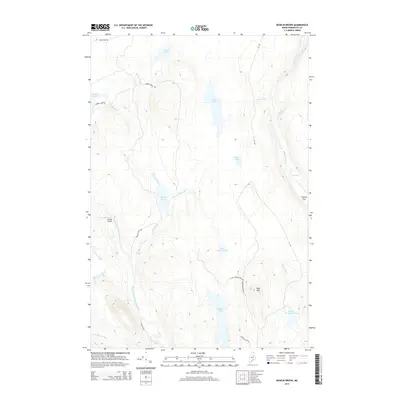
2014 Map of Bowlin Brook
USGS Topo · Published 2014About this map
The Seboeis River and the East Branch Penobscot River anchor this stretch of the Maine woods, where water-driven landmarks dominate the landscape. Named river features like Grand Pitch, Bowlin Falls, and Spencer Rips indicate the powerful drops and rapids that have long shaped navigation and logging in this region. Along the eastern edge of the Penobscot, The Hulling Machine stands as a distinctively named landmark above the waterway.
Find a feature on this map
35 named features on this map. Tap any name to fly to it.
Don’t see what you’re looking for? This feature index may not catch every label — zoom into the map to look around manually.
Map Details
Editions of this 2014 Bowlin Brook Map
This is the sole edition of this map. No revisions or reprints were ever made.
Other maps of this area

1927 · Katahdin
USGS Topo · 1:48,000

1930 · Katahdin
USGS Topo · 1:62,500

1949 · Katahdin
USGS Topo · 1:62,500

1953 · Stacyville
USGS Topo · 1:62,500

1954 · Shin Pond
USGS Topo · 1:62,500

1954 · Presque Isle
USGS Topo · 1:250,000

1954 · Millinocket
USGS Topo · 1:250,000

1955 · Traveler Mountain
USGS Topo · 1:62,500

1958 · Presque Isle
USGS Topo · 1:250,000

1958 · Millinocket
USGS Topo · 1:250,000