
Loading...
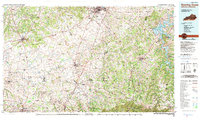
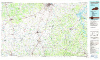
Loading map...1985 Map of Bowling Green
USGS Topo · Published 1985About this map
The Barren River and its numerous tributaries, including Drakes Creek and Trammel Fork, define the rolling corridor between Kentucky and Tennessee. This 1985 planimetric study highlights the agricultural and industrial landscape before significant modern expansion, focusing on established regional hubs like Bowling Green, Russellville, and Franklin. The rural character of the area is emphasized by specialized locations such as the W Ky Univ Agriculture Center and the Highland Academy.
Find a feature on this map
308 named features on this map. Tap any name to fly to it.
Don’t see what you’re looking for? This feature index may not catch every label — zoom into the map to look around manually.
Map Details
Date Portrayed1985
Date Published1985
PublisherU.S. Geological Survey
Map TypeTopographic
Scale1:100,000
Physical Dimensions42 x 24.3 inches
Editions of this 1985 Bowling Green Map
3 editions found
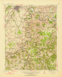
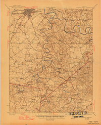
Historical Maps of Bowling Green Through Time
3 maps found
Featured Locations
Source Details
SourceU.S. Geological Survey
CopyrightPublic Domain