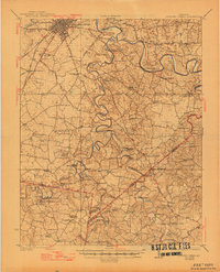
1923 Map of Bowling Green
USGS Topo · Published 1945About this map
Bowling Green serves as the focal point for this Kentucky landscape, which is defined by the winding course of the Barren River and the subterranean mystery of the Lost River. The 1920s topography reveals a heavy reliance on river crossings, with numerous named points such as Jakes Branch Ford and Walthel Ford facilitating travel before widespread bridge construction. The rural economy is anchored by sites like Massey Mill along Drake Creek and the rail hub at Memphis Junction along the Louisville and Nashville line.
Find a feature on this map
83 named features on this map. Tap any name to fly to it.
Don’t see what you’re looking for? This feature index may not catch every label — zoom into the map to look around manually.
Map Details
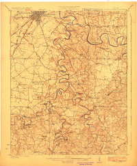
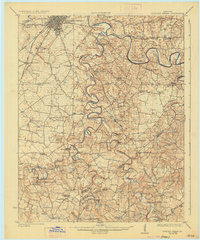
Editions of this 1923 Bowling Green Map
4 editions found
Other maps of this area

1914 · Little Muddy
USGS Topo · 1:62,500

1921 · Bowling Green
USGS Topo · 1:62,500

1922 · Brownsville
USGS Topo · 1:62,500

1922 · Mammoth Cave
USGS Topo · 1:62,500

1923 · Bowling Green
USGS Topo · 1:62,500

1923 · Mammoth Cave
USGS Topo · 1:62,500

1923 · Brownsville
USGS Topo · 1:62,500

1926 · Scottsville
USGS Topo · 1:62,500

1928 · Adolphus
USGS Topo · 1:48,000

1931 · Lafayette
USGS Topo · 1:62,500