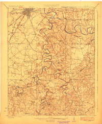
1923 Map of Bowling Green
USGS Topo · Published 1923About this map
Bowling Green and its surrounding rural landscapes are captured here in the early 1920s, showing a region defined by the winding course of the Barren River and the complex drainage of Drake Creek. The area south of the city is remarkably densely settled for the era, dotted with an extensive network of small community institutions including the Cedar Grove School, Cave Mill School, and Trinity Church. The railroad infrastructure of the Louisville And Nashville line is a central feature, branching at Memphis Junction to serve the growing trade of Warren County.
Find a feature on this map
98 named features on this map. Tap any name to fly to it.
Don’t see what you’re looking for? This feature index may not catch every label — zoom into the map to look around manually.
Map Details
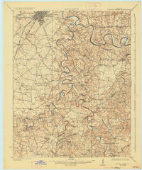
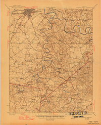
Editions of this 1923 Bowling Green Map
4 editions found
Other maps of this area

1914 · Little Muddy
USGS Topo · 1:62,500

1921 · Bowling Green
USGS Topo · 1:62,500

1922 · Brownsville
USGS Topo · 1:62,500

1922 · Mammoth Cave
USGS Topo · 1:62,500

1923 · Bowling Green
USGS Topo · 1:62,500

1923 · Mammoth Cave
USGS Topo · 1:62,500

1923 · Brownsville
USGS Topo · 1:62,500

1926 · Scottsville
USGS Topo · 1:62,500

1928 · Adolphus
USGS Topo · 1:48,000

1931 · Lafayette
USGS Topo · 1:62,500