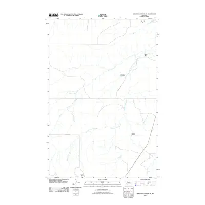
2011 Map of Bowmans Corners NE
USGS Topo · Published 2011About this map
Olson Place and Garlipee Ranch stand as primary markers of human settlement in this high plains landscape of central Montana. The hydrology of the region is defined by the branching paths of Simms Creek, including the North Fork Simms Creek and South Fork Simms Creek, which drain the open terrain. Managed water resources are evident through features like the Blooming Creek Dam and Flicked BIC Dam, illustrating the infrastructure required for ranching and agriculture. In the far northern reach, the Crown Butte Canal diverts water across the prairie. Transportation is limited to a sparse network of rural routes, primarily Simms Creek Rd and Long Butte Rd, which connect these distant homesteads and water management sites.
Find a feature on this map
10 named features on this map. Tap any name to fly to it.
Don’t see what you’re looking for? This feature index may not catch every label — zoom into the map to look around manually.
Map Details
Editions of this 2011 Bowmans Corners NE Map
This is the sole edition of this map. No revisions or reprints were ever made.
Other maps of this area

1886 · Great Falls
USGS Topo · 1:250,000

1920 · Choteau
USGS Topo · 1:125,000

1943 · Hogan
USGS Topo · 1:125,000

1950 · Fairfield
USGS Topo · 1:62,500

1954 · Great Falls
USGS Topo · 1:250,000

1955 · Choteau
USGS Topo · 1:250,000

1957 · Choteau
USGS Topo · 1:250,000

1957 · Great Falls
USGS Topo · 1:250,000

1958 · Choteau
USGS Topo · 1:250,000

1960 · Simms
USGS Topo · 1:62,500