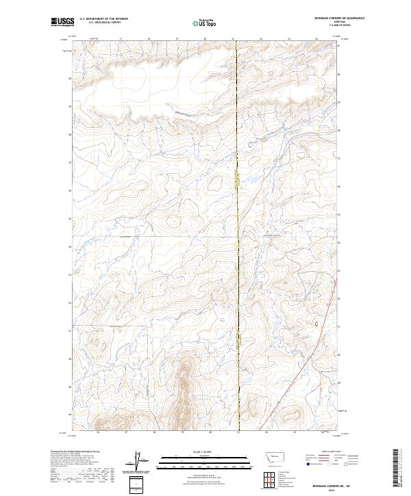
2024 Map of Bowmans Corners NE
USGS Topo · Published 2024About this map
Crown Butte Canal cuts across the northeastern corner of this drainage landscape, where the headwaters of Simms Creek diverge into several distinct branches. The terrain is defined by the convergence of the North Fork Simms Creek and the South Fork Simms Creek, which carve through the high ground of the Lewis and Clark and Cascade county line. This contemporary survey illustrates the modern management of water resources and rural access in the region, centered around the long-established ranching corridors that follow the natural contours of the land. Remote access is provided by a network of gravel-surfaced routes including Long Butte Rd and Upper Simms Creek Rd, which navigate the elevation changes near Anderson Coulee. The map provides a clear look at the Public Land Survey System grid across Townships 19 and 20 North, highlighting the continued importance of section lines in this rural western interior.
Find a feature on this map
13 named features on this map. Tap any name to fly to it.
Don’t see what you’re looking for? This feature index may not catch every label — zoom into the map to look around manually.
Map Details
Editions of this 2024 Bowmans Corners NE Map
This is the sole edition of this map. No revisions or reprints were ever made.
Other maps of this area

1886 · Great Falls
USGS Topo · 1:250,000

1920 · Choteau
USGS Topo · 1:125,000

1943 · Hogan
USGS Topo · 1:125,000

1950 · Fairfield
USGS Topo · 1:62,500

1954 · Great Falls
USGS Topo · 1:250,000

1955 · Choteau
USGS Topo · 1:250,000

1957 · Choteau
USGS Topo · 1:250,000

1957 · Great Falls
USGS Topo · 1:250,000

1958 · Choteau
USGS Topo · 1:250,000

1960 · Simms
USGS Topo · 1:62,500