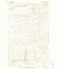
1963 Map of Bowmans Corners NE
USGS Topo · Published 1965About this map
Crown Butte dominates the northeastern corner of this 1960s landscape, where the high plains meet the irrigation systems of Lewis and Clark and Cascade counties. The Crown Butte Canal and a Water Tank indicate the development of water infrastructure required to sustain ranching and agriculture in this semi-arid region. Traceable family history is anchored by the Olsen Place, a rare named homestead location situated near Simms Creek. The terrain is defined by deep drainage patterns including Loomis Coulee and Anderson Coulee, alongside the converging paths of the North Fork and South Fork. A notable Spring located near the county line further highlights the importance of natural water sources to the early character of these Montana foothills.
Find a feature on this map
11 named features on this map. Tap any name to fly to it.
Don’t see what you’re looking for? This feature index may not catch every label — zoom into the map to look around manually.
Map Details
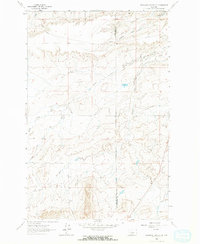
Editions of this 1963 Bowmans Corners NE Map
2 editions found
Other maps of this area

1886 · Great Falls
USGS Topo · 1:250,000

1920 · Choteau
USGS Topo · 1:125,000

1943 · Hogan
USGS Topo · 1:125,000

1950 · Fairfield
USGS Topo · 1:62,500

1954 · Great Falls
USGS Topo · 1:250,000

1955 · Choteau
USGS Topo · 1:250,000

1957 · Choteau
USGS Topo · 1:250,000

1957 · Great Falls
USGS Topo · 1:250,000

1958 · Choteau
USGS Topo · 1:250,000

1960 · Simms
USGS Topo · 1:62,500