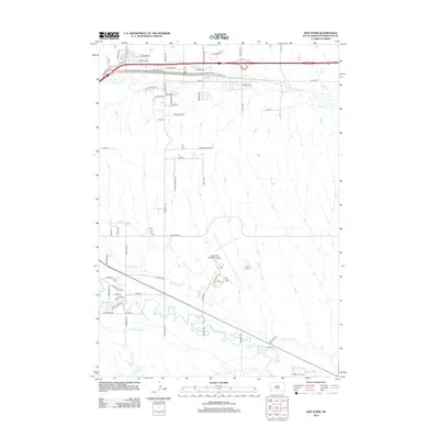
2012 Map of Box Elder
USGS Topo · Published 2012About this map
Rapid City Regional Airport dominates the central landscape of this South Dakota quadrangle, reflecting the region's mid-century aviation infrastructure. The terrain is defined by a sophisticated system of irrigation channels, including Murphy Ditch, South Side Ditch, and Hawthorne Ditch, which redirect water from Boxelder Cr and Rapid Cr to support local agriculture and industry. This network of waterways illustrates the critical role of water management in Pennington County's development.
Find a feature on this map
61 named features on this map. Tap any name to fly to it.
Don’t see what you’re looking for? This feature index may not catch every label — zoom into the map to look around manually.
Map Details
Editions of this 2012 Box Elder Map
This is the sole edition of this map. No revisions or reprints were ever made.
Other maps of this area

1893 · Rapid
USGS Topo · 1:125,000

1894 · Hermosa
USGS Topo · 1:125,000

1898 · Rapid
USGS Topo · 1:125,000

1901 · Hermosa
USGS Topo · 1:125,000

1903 · Rapid
USGS Topo · 1:125,000

1953 · Bend
USGS Topo · 1:24,000

1953 · Boxelder
USGS Topo · 1:24,000

1953 · Hermosa NW
USGS Topo · 1:24,000

1953 · Rapid City East
USGS Topo · 1:24,000

1953 · Rapid City NW
USGS Topo · 1:24,000