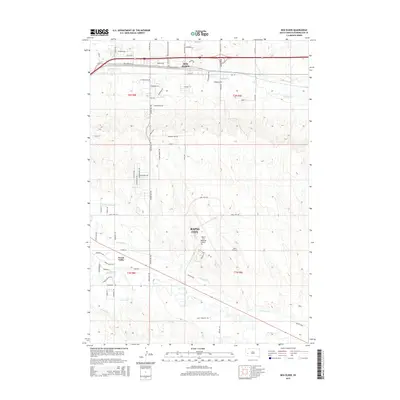
2015 Map of Box Elder
USGS Topo · Published 2015About this map
Rapid City and the neighboring community of Box Elder define this portion of the Black Hills' eastern fringe, where urban expansion meets the sprawling prairie. The landscape is heavily influenced by the presence of the Rapid City Regional Airport and Dan's Airport, which dominate the central terrain. An intricate network of irrigation and drainage infrastructure is visible throughout the area, including the Hawthorne Ditch, Murphy Ditch, and S Side Ditch, which manage water resources around Rapid Creek and Boxelder Cr. This reliance on artificial waterways reflects the agricultural transition and land management practices required in Pennington County's semi-arid environment. Further south, the residential cluster of Green Valley sits near the winding course of the creek, while numerous rural roads like Radar Hills Dr and Back Country Trl connect the outlying townships.
Find a feature on this map
44 named features on this map. Tap any name to fly to it.
Don’t see what you’re looking for? This feature index may not catch every label — zoom into the map to look around manually.
Map Details
Editions of this 2015 Box Elder Map
This is the sole edition of this map. No revisions or reprints were ever made.
Other maps of this area

1893 · Rapid
USGS Topo · 1:125,000

1894 · Hermosa
USGS Topo · 1:125,000

1898 · Rapid
USGS Topo · 1:125,000

1901 · Hermosa
USGS Topo · 1:125,000

1903 · Rapid
USGS Topo · 1:125,000

1953 · Bend
USGS Topo · 1:24,000

1953 · Boxelder
USGS Topo · 1:24,000

1953 · Hermosa NW
USGS Topo · 1:24,000

1953 · Rapid City East
USGS Topo · 1:24,000

1953 · Rapid City NW
USGS Topo · 1:24,000