2021 Map of Box Elder
USGS Topo · Published 2021About this map
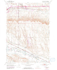
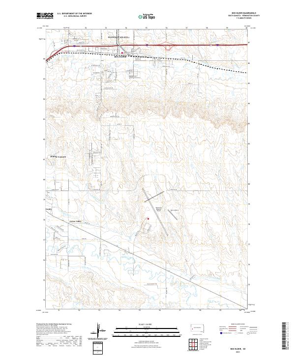
Box Elder and the neighboring residential expansions of Rapid Valley dominate this modern topographical record of Pennington County. The landscape is defined by the heavy infrastructure of aviation and agriculture, with the expansive Rapid City Regional Airport and the smaller Dan's Airport serving as major landmarks. The hydrologic patterns here reveal a sophisticated irrigation and water management system, tracing the paths of the Hawthorne Ditch, Murphy Ditch, and S Side Ditch as they divert water from Rapid Creek. Smaller settlements like Murphy and Green Valley sit along these waterways, reflecting a community structured by the historic necessity of moving water through the prairie. North of the city, Boxelder Cr meanders near Old US Hwy 14, illustrating the intersection of natural drainage and early transcontinental transit routes.
Find a feature on this map
50 named features on this map. Tap any name to fly to it.
Don’t see what you’re looking for? This feature index may not catch every label — zoom into the map to look around manually.
Map Details
Editions of this 2021 Box Elder Map
This is the sole edition of this map. No revisions or reprints were ever made.