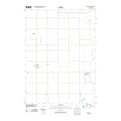
2010 Map of Boxholm
USGS Topo · Published 2010About this map
Boxholm and the surrounding farmland of Boone County reflect a deeply rooted agricultural and cultural heritage in this early 21st-century survey. The presence of the Swedish Lutheran Church and its accompanying Swedish Lutheran Church Cemetery serves as a clear marker of the Scandinavian immigrant groups that settled the Iowa prairie. This community identity is further reinforced by the network of family and community burial grounds scattered across the landscape, including Lawn Cemetery, Union Cemetery, and Renner Cemetery.
Find a feature on this map
37 named features on this map. Tap any name to fly to it.
Don’t see what you’re looking for? This feature index may not catch every label — zoom into the map to look around manually.
Map Details
Editions of this 2010 Boxholm Map
This is the sole edition of this map. No revisions or reprints were ever made.
Other maps of this area

1916 · Boone
USGS Topo · 1:62,500

1923 · Lehigh
USGS Topo · 1:62,500

1951 · Ogden
USGS Topo · 1:62,500

1954 · Waterloo
USGS Topo · 1:250,000

1954 · Fort Dodge
USGS Topo · 1:250,000

1955 · Waterloo
USGS Topo · 1:250,000

1957 · Fort Dodge
USGS Topo · 1:250,000

1958 · Fort Dodge
USGS Topo · 1:250,000

1965 · Fraser
USGS Topo · 1:24,000

1965 · Lehigh
USGS Topo · 1:24,000