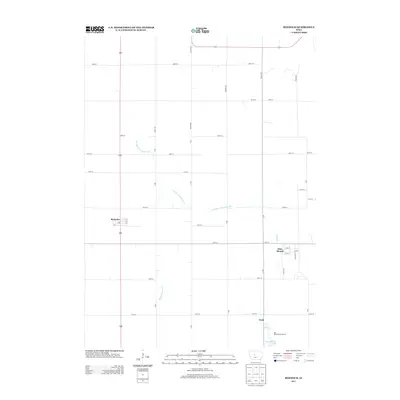
2013 Map of Boxholm
USGS Topo · Published 2013About this map
Boxholm and Pilot Mound anchor this agricultural landscape in Boone County, revealing a survey grid defined by gravel roads and drainage infrastructure. The map depicts a heavily engineered hydrology, where Drainage Ditch Number 107 cuts across the plains to manage runoff for the surrounding farms. This systematic drainage allows for intensive cultivation in areas that might otherwise remain marshy, a common characteristic of the Des Moines Lobe landform.
Find a feature on this map
40 named features on this map. Tap any name to fly to it.
Don’t see what you’re looking for? This feature index may not catch every label — zoom into the map to look around manually.
Map Details
Editions of this 2013 Boxholm Map
This is the sole edition of this map. No revisions or reprints were ever made.
Other maps of this area

1916 · Boone
USGS Topo · 1:62,500

1923 · Lehigh
USGS Topo · 1:62,500

1951 · Ogden
USGS Topo · 1:62,500

1954 · Waterloo
USGS Topo · 1:250,000

1954 · Fort Dodge
USGS Topo · 1:250,000

1955 · Waterloo
USGS Topo · 1:250,000

1957 · Fort Dodge
USGS Topo · 1:250,000

1958 · Fort Dodge
USGS Topo · 1:250,000

1965 · Fraser
USGS Topo · 1:24,000

1965 · Lehigh
USGS Topo · 1:24,000