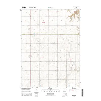
2015 Map of Boxholm
USGS Topo · Published 2015About this map
Boxholm and Pilot Mound anchor this central Iowa agricultural landscape along the northern border of Boone Co. The map documents a highly structured rural grid, where township lines like t85n r28w and t86n r27w organize a network of county roads including Co Hwy P70 and Paragon Ave. Family history is deeply etched into the land through the Swedish Lutheran Church Cem, Lawn Cem, and Union Cem, each serving as a vital landmark for genealogical research. Natural watercourses like Middle Beaver Cr and Bluff Cr cut through the geometric section lines, eventually leading to Don Williams Lake in the south. The presence of Drainage Ditch Number 107 reflects the long-standing importance of water management in sustaining the productivity of this prairie region.
Find a feature on this map
45 named features on this map. Tap any name to fly to it.
Don’t see what you’re looking for? This feature index may not catch every label — zoom into the map to look around manually.
Map Details
Editions of this 2015 Boxholm Map
This is the sole edition of this map. No revisions or reprints were ever made.
Other maps of this area

1916 · Boone
USGS Topo · 1:62,500

1923 · Lehigh
USGS Topo · 1:62,500

1951 · Ogden
USGS Topo · 1:62,500

1954 · Waterloo
USGS Topo · 1:250,000

1954 · Fort Dodge
USGS Topo · 1:250,000

1955 · Waterloo
USGS Topo · 1:250,000

1957 · Fort Dodge
USGS Topo · 1:250,000

1958 · Fort Dodge
USGS Topo · 1:250,000

1965 · Fraser
USGS Topo · 1:24,000

1965 · Lehigh
USGS Topo · 1:24,000