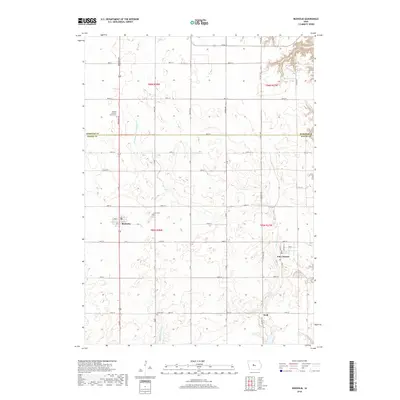
2018 Map of Boxholm
USGS Topo · Published 2018About this map
Boxholm and Pilot Mound anchor this central Iowa landscape along the border of Webster and Boone Counties. This 2018 survey documents a highly organized agricultural grid defined by namesake roads like Paragon Ave and Racine Ave. The region's drainage history is evident through features such as Drainage Ditch Number 107, while natural waterways like Middle Beaver Creek and Bluff Creek meander through the southern sections. Local heritage is preserved at sites like the Swedish Lutheran Church Cemetery, which serves as a landmark of the area's cultural settlement. Smaller communities like Wolf and well-placed rural burial grounds including Lawn Cemetery and Union Cemetery provide key points of interest for genealogists and local historians tracing family roots in Grant Township.
Find a feature on this map
44 named features on this map. Tap any name to fly to it.
Don’t see what you’re looking for? This feature index may not catch every label — zoom into the map to look around manually.
Map Details
Editions of this 2018 Boxholm Map
This is the sole edition of this map. No revisions or reprints were ever made.
Other maps of this area

1916 · Boone
USGS Topo · 1:62,500

1923 · Lehigh
USGS Topo · 1:62,500

1951 · Ogden
USGS Topo · 1:62,500

1954 · Waterloo
USGS Topo · 1:250,000

1954 · Fort Dodge
USGS Topo · 1:250,000

1955 · Waterloo
USGS Topo · 1:250,000

1957 · Fort Dodge
USGS Topo · 1:250,000

1958 · Fort Dodge
USGS Topo · 1:250,000

1965 · Fraser
USGS Topo · 1:24,000

1965 · Lehigh
USGS Topo · 1:24,000