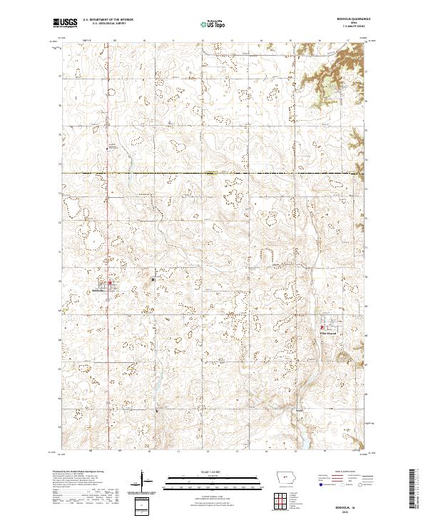
2022 Map of Boxholm
USGS Topo · Published 2022About this map
The town of Boxholm sits near the western edge of this central Iowa landscape, where the flat upland prairie is methodically divided by a strict grid of section roads and drainage projects. Evidence of early settlement patterns and community genealogy is found at several burial grounds, including the Swedish Lutheran Church Cem to the north and Lawn Cem just east of town.
Find a feature on this map
38 named features on this map. Tap any name to fly to it.
Don’t see what you’re looking for? This feature index may not catch every label — zoom into the map to look around manually.
Map Details
Editions of this 2022 Boxholm Map
This is the sole edition of this map. No revisions or reprints were ever made.
Other maps of this area

1916 · Boone
USGS Topo · 1:62,500

1923 · Lehigh
USGS Topo · 1:62,500

1951 · Ogden
USGS Topo · 1:62,500

1954 · Waterloo
USGS Topo · 1:250,000

1954 · Fort Dodge
USGS Topo · 1:250,000

1955 · Waterloo
USGS Topo · 1:250,000

1957 · Fort Dodge
USGS Topo · 1:250,000

1958 · Fort Dodge
USGS Topo · 1:250,000

1965 · Fraser
USGS Topo · 1:24,000

1965 · Lehigh
USGS Topo · 1:24,000