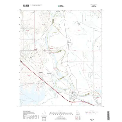
2018 Map of Boyce
USGS Topo · Published 2018About this map
Boyce stands as a central settlement along the winding path of the Red River, marking a landscape where the Rapides Parish and Grant Parish border follows the river's historical course. This survey illustrates a complex network of waterways, including Bayou Jean de Jean and Bayou Patassa, which feed into the primary river system. The presence of numerous family and church burial grounds, such as Saint Aloysius Cem and Rose View Cem, provides significant value for genealogical research in these riverside communities.
Find a feature on this map
72 named features on this map. Tap any name to fly to it.
Don’t see what you’re looking for? This feature index may not catch every label — zoom into the map to look around manually.
Map Details
Editions of this 2018 Boyce Map
This is the sole edition of this map. No revisions or reprints were ever made.
Other maps of this area

1932 · Boyce NE
USGS Topo · 1:31,680

1932 · Boyce SW
USGS Topo · 1:31,680

1932 · Colfax SW
USGS Topo · 1:31,680

1932 · Colfax SE
USGS Topo · 1:31,680

1936 · Colfax
USGS Topo · 1:62,500

1937 · Chopin NE
USGS Topo · 1:31,680

1937 · Aloha
USGS Topo · 1:31,680

1937 · Montgomery
USGS Topo · 1:62,500

1937 · Chopin SE
USGS Topo · 1:31,680

1941 · Boyce
USGS Topo · 1:62,500