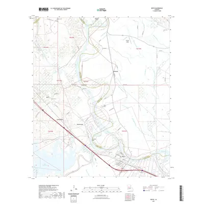
2021 Map of Boyce
USGS Topo · Published 2021About this map
Boyce serves as a primary center for this Central Louisiana landscape, where the Red River carves a winding path through the borderlands of Rapides, Grant, and Natchitoches Parishes. The river’s historical shifts are visible in features like Apalachie Island and Pontfield Bend, as well as the artificial McNeely Cut-Off. Small settlements like Zimmerman and Kateland are connected by a network of rural roads such as River Rd and Kateland Rd, while family and community history is anchored by numerous burial grounds including Valentine Cem and Lacour Cem.
Find a feature on this map
76 named features on this map. Tap any name to fly to it.
Don’t see what you’re looking for? This feature index may not catch every label — zoom into the map to look around manually.
Map Details
Editions of this 2021 Boyce Map
This is the sole edition of this map. No revisions or reprints were ever made.
Other maps of this area

1932 · Boyce NE
USGS Topo · 1:31,680

1932 · Boyce SW
USGS Topo · 1:31,680

1932 · Colfax SW
USGS Topo · 1:31,680

1932 · Colfax SE
USGS Topo · 1:31,680

1936 · Colfax
USGS Topo · 1:62,500

1937 · Chopin NE
USGS Topo · 1:31,680

1937 · Aloha
USGS Topo · 1:31,680

1937 · Montgomery
USGS Topo · 1:62,500

1937 · Chopin SE
USGS Topo · 1:31,680

1941 · Boyce
USGS Topo · 1:62,500