Loading...
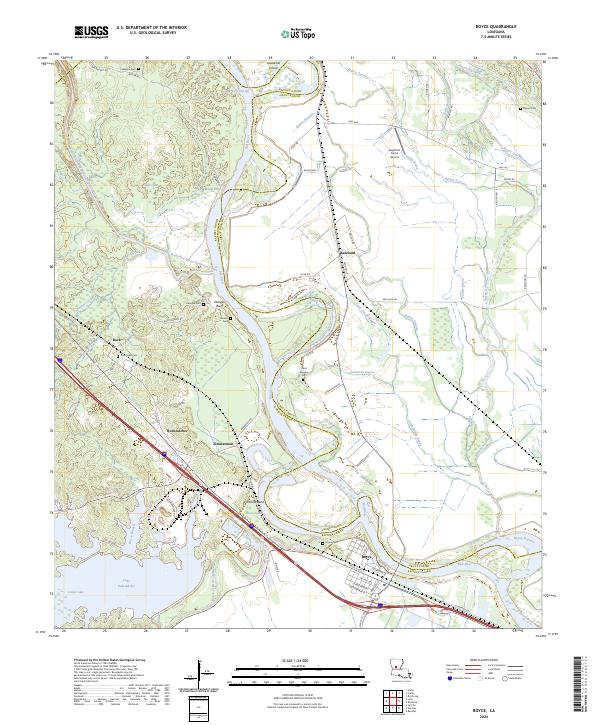
Loading map...2024 Map of Boyce
USGS Topo · Published 2024About this map
The Red River meanders through the heart of this Louisiana landscape, defining the boundary between Rapides and Grant Parishes. The town of Boyce serves as a primary hub in the south, where a dense grid of streets including Pacific Ave and Wettermark St meets the river's edge. To the northwest, the Cane River-Red Bayou Diversion Canal cuts across the terrain, a significant engineering feature that alters the natural hydrology of Shedd Creek and Red Bayou.
Find a feature on this map
69 named features on this map. Tap any name to fly to it.
Don’t see what you’re looking for? This feature index may not catch every label — zoom into the map to look around manually.
Map Details
Date Portrayed2024
Date Published2024
PublisherU.S. Geological Survey
Map TypeTopographic
Scale1:24000
Physical Dimensions24 x 29 inches
Editions of this 2024 Boyce Map
This is the sole edition of this map. No revisions or reprints were ever made.
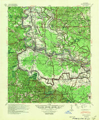
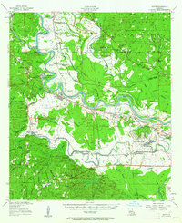
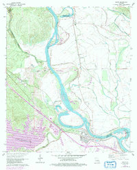
Historical Maps of Ravencamp Through Time
4 maps found
Featured Locations
Source Details
SourceU.S. Geological Survey
CopyrightPublic Domain