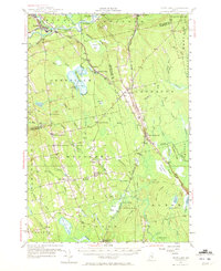
1955 Map of Boyd Lake
USGS Topo · Published 1972About this map
The Piscataquis River and Sebec River converge at the northern edge of this mid-century Maine survey, where the rail hub of Derby and the village of Milo sit at the junction of the Bangor and Aroostook railroad. This landscape is defined by its extensive wetlands and bog systems, such as Call Bog and Whitten Bog, which are punctuated by distinctive landmarks like Porcupine Ridge and Hudson Ridge. Settlement is concentrated along rural roads and rail lines, evidenced by smaller hamlets like Lagrange, Bradford, and Boyd Lake.
Find a feature on this map
97 named features on this map. Tap any name to fly to it.
Don’t see what you’re looking for? This feature index may not catch every label — zoom into the map to look around manually.
Map Details
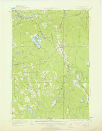
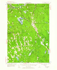
Editions of this 1955 Boyd Lake Map
4 editions found

Other maps of this area

1902 · Orono
USGS Topo · 1:62,500

1902 · Bangor
USGS Topo · 1:62,500

1917 · Passadumkeag
USGS Topo · 1:62,500

1931 · Stetson
USGS Topo · 1:48,000

1932 · Dover-Foxcroft
USGS Topo · 1:48,000

1933 · Boyd Lake
USGS Topo · 1:62,500

1935 · Dover-Foxcroft
USGS Topo · 1:62,500

1935 · Stetson
USGS Topo · 1:62,500

1940 · Sebec
USGS Topo · 1:48,000

1942 · Lincoln
USGS Topo · 1:62,500