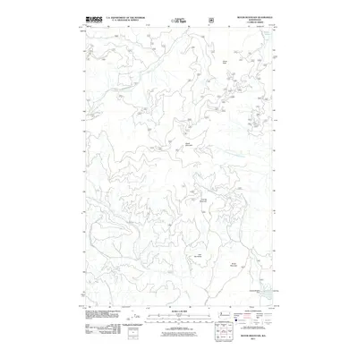
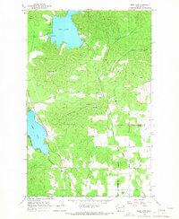
2011 Map of Boyer Mountain
USGS Topo · Published 2011About this map
Boyer Mountain and Granite Mountain dominate the high ground of this Stevens County landscape, where the U.S. Forest Service maintains a network of access roads including Middle Fork Rd and Buck Creek Rd. The drainage patterns here are well-defined, with the Middle Fork Calispell Creek and South Fork Calispell Creek carving through the northern and central sections. To the south, the terrain descends toward the Kettwig Wildlife Dam, a notable point of water management on Spring Heel Creek. This 2011 survey illustrates the modern configuration of Forest Service lands, showing the transition from peaks like Power Peak to the lower reaches of Buck Creek and Heel Creek. The presence of Power Lake in the northeast corner serves as a primary water feature in an otherwise heavily forested and mountainous region of northeastern Washington.
Find a feature on this map
17 named features on this map. Tap any name to fly to it.
Don’t see what you’re looking for? This feature index may not catch every label — zoom into the map to look around manually.
Map Details
Editions of this 2011 Boyer Mountain Map
This is the sole edition of this map. No revisions or reprints were ever made.
Other maps of this area
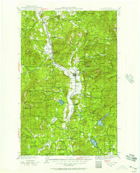
1927 · Chewelah
USGS Topo · 1:125,000
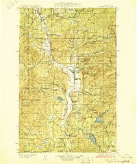
1930 · Chewelah
USGS Topo · 1:125,000
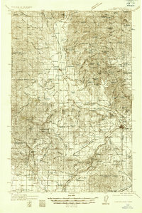
1936 · Newport
USGS Topo · 1:96,000
1942 · Newport
USGS Topo · 1:125,000

1958 · Sandpoint
USGS Topo · 1:250,000

1963 · Sandpoint
USGS Topo · 1:250,000
1964 · Goddards Peak
USGS Topo · 1:24,000
1964 · Chewelah Mtn
USGS Topo · 1:62,500
1965 · Nelson Peak
USGS Topo · 1:24,000
1965 · Deer Lake
USGS Topo · 1:24,000