
1964 Map of Goddards Peak
USGS Topo · Published 1966About this map
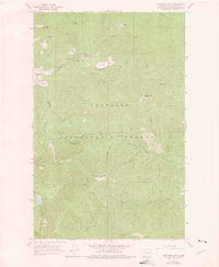
Goddards Peak rises above a high-country landscape where the boundaries of the Kaniksu National Forest and Colville National Forest converge in Stevens County. In the mid-1960s, this area served as a vital lookout and communications hub, evidenced by the Lookout Tower and Radio Tower atop Chewelah Mtn. The topography is defined by a series of prominent summits, including Wilson Mtn and Johnson Mtn, with the deep Wessendorf Canyon cutting through the southern reaches. Numerous high-elevation meadows like Healey Meadow and Bisbee Meadow are connected by a network of drainage systems such as Tenmile Creek and Little Calispell Creek. Remnants of earlier human presence appear as Ruins near the North Fork Calispell Creek, while the Flowery Trail Road provides the primary passage through these mountains.
Find a feature on this map
35 named features on this map. Tap any name to fly to it.
Don’t see what you’re looking for? This feature index may not catch every label — zoom into the map to look around manually.
Map Details
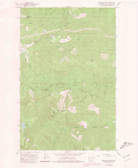
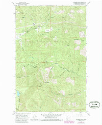
Editions of this 1964 Goddards Peak Map
4 editions found
Other maps of this area

1927 · Chewelah
USGS Topo · 1:125,000

1930 · Chewelah
USGS Topo · 1:125,000

1936 · Newport
USGS Topo · 1:96,000

1942 · Newport
USGS Topo · 1:125,000

1958 · Sandpoint
USGS Topo · 1:250,000

1963 · Sandpoint
USGS Topo · 1:250,000

1964 · Chewelah
USGS Topo · 1:24,000

1964 · Cliff Ridge
USGS Topo · 1:24,000
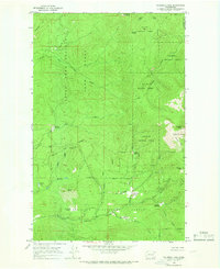
1964 · Calispell Peak
USGS Topo · 1:24,000

1964 · Chewelah Mtn
USGS Topo · 1:62,500