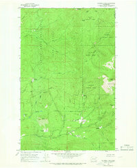
1964 Map of Calispell Peak
USGS Topo · Published 1966About this map
Calispell Peak and the high ridgelines of the Calispell Ridge anchor this mid-century survey along the boundary of Stevens and Pend Oreille counties. The landscape is defined by its administrative and natural divisions, where the Kaniksu National Forest meets the Colville National Forest. A network of high-altitude clearings, often bearing family names, suggests a history of grazing or seasonal use, including Lenhart Meadows, Pal Moore Meadow, and Hartill Meadows. The drainage patterns are complex, with the North Fork Chewelah Creek and Bear Creek carving through the terrain. Evidence of back-country access is visible via the Calispell Pk Rd and various unnamed tracks that navigate the slopes near Phillips Lake and the Little Pend Oreille Game Range.
Find a feature on this map
31 named features on this map. Tap any name to fly to it.
Don’t see what you’re looking for? This feature index may not catch every label — zoom into the map to look around manually.
Map Details
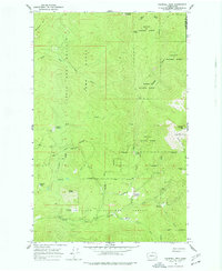
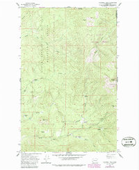
Editions of this 1964 Calispell Peak Map
Other maps of this area

1927 · Chewelah
USGS Topo · 1:125,000

1929 · Colville
USGS Topo · 1:125,000

1930 · Chewelah
USGS Topo · 1:125,000

1933 · Colville
USGS Topo · 1:125,000

1934 · Metaline
USGS Topo · 1:125,000

1936 · Newport
USGS Topo · 1:96,000

1942 · Metaline
USGS Topo · 1:125,000

1942 · Newport
USGS Topo · 1:125,000

1958 · Sandpoint
USGS Topo · 1:250,000

1963 · Sandpoint
USGS Topo · 1:250,000