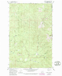
1964 Map of Calispell Peak
USGS Topo · Published 1986About this map
Calispell Peak dominates the high ground of the Selkirk Mountains at the intersection of Stevens and Pend Oreille counties. This mid-century survey illustrates a landscape primarily dedicated to conservation and public land management, where the Little Pend Oreille National Wildlife Refuge and Little Pend Oreille State Wildlife Area converge. The terrain is marked by a series of high-altitude clearings, including Lenhart Meadows and Hidden Meadows, which suggest a history of seasonal grazing or early homesteading in these remote reaches.
Find a feature on this map
33 named features on this map. Tap any name to fly to it.
Don’t see what you’re looking for? This feature index may not catch every label — zoom into the map to look around manually.
Map Details
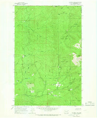
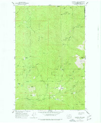
Editions of this 1964 Calispell Peak Map
Other maps of this area

1927 · Chewelah
USGS Topo · 1:125,000

1929 · Colville
USGS Topo · 1:125,000

1930 · Chewelah
USGS Topo · 1:125,000

1933 · Colville
USGS Topo · 1:125,000

1934 · Metaline
USGS Topo · 1:125,000

1936 · Newport
USGS Topo · 1:96,000

1942 · Metaline
USGS Topo · 1:125,000

1942 · Newport
USGS Topo · 1:125,000

1958 · Sandpoint
USGS Topo · 1:250,000

1963 · Sandpoint
USGS Topo · 1:250,000