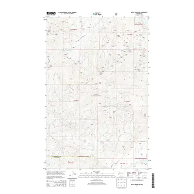
2014 Map of Boyer Mountain
USGS Topo · Published 2014About this map
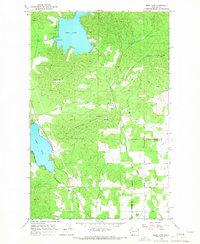
Kanisku National Forest dominates this high-altitude landscape along the border of Stevens and Pend Oreille counties. The topography is defined by a series of prominent summits, including the central peak of Boyer Mtn, Power Peak in the northeast, and the southern heights of Brush Mtn and Little Roundtop. These granite masses serve as the headwaters for numerous drainages, most notably Middle Fork Calispell Cr and its northern and southern forks. Human access into these wooded highlands is primarily facilitated by a network of National Forest Development roads, such as Nat For Dev Rd 3520, which wind through the township and range divisions. The map provides a detailed view of the drainage patterns where Buck Cr and Heel Cr carve through the eastern slopes below Little Blue Grouse Mtn.
Find a feature on this map
30 named features on this map. Tap any name to fly to it.
Don’t see what you’re looking for? This feature index may not catch every label — zoom into the map to look around manually.
Map Details
Editions of this 2014 Boyer Mountain Map
This is the sole edition of this map. No revisions or reprints were ever made.
Other maps of this area
1927 · Chewelah
USGS Topo · 1:125,000
1930 · Chewelah
USGS Topo · 1:125,000
1936 · Newport
USGS Topo · 1:96,000
1942 · Newport
USGS Topo · 1:125,000

1958 · Sandpoint
USGS Topo · 1:250,000

1963 · Sandpoint
USGS Topo · 1:250,000
1964 · Goddards Peak
USGS Topo · 1:24,000
1964 · Chewelah Mtn
USGS Topo · 1:62,500
1965 · Nelson Peak
USGS Topo · 1:24,000
1965 · Deer Lake
USGS Topo · 1:24,000