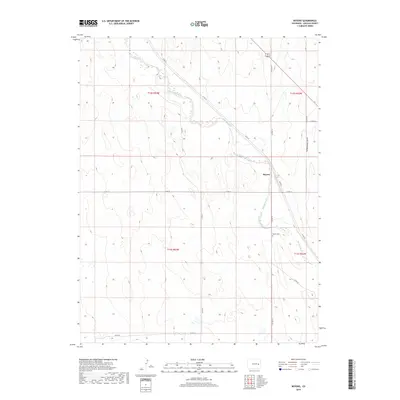
2019 Map of Boyero
USGS Topo · Published 2019About this map
Big Sandy Creek defines the local landscape of this Lincoln County region, winding through the plains just north of the small settlement at Boyero. The mapping shows a classic High Plains settlement pattern where the life of the community follows the watercourse, evidenced by the proximity of the town and the Boyero Cem situated along its banks. While the terrain is largely open, localized features like Schoolhouse Gulch suggest the small-scale drainage patterns that influenced early homesteading and road placement. The road network, including Co HWY 63 and several county routes such as Co RD 39, provides the primary structure for this agricultural and ranching landscape, connecting the dispersed sections of the Lincoln County prairie to the central hub at Boyero.
Find a feature on this map
17 named features on this map. Tap any name to fly to it.
Don’t see what you’re looking for? This feature index may not catch every label — zoom into the map to look around manually.
Map Details
Editions of this 2019 Boyero Map
This is the sole edition of this map. No revisions or reprints were ever made.
Other maps of this area
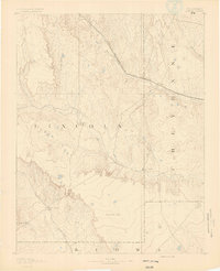
1891 · Arroyo
USGS Topo · 1:125,000
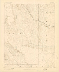
1893 · Arroyo
USGS Topo · 1:125,000

1954 · Limon
USGS Topo · 1:250,000

1954 · Lamar
USGS Topo · 1:250,000

1957 · Limon
USGS Topo · 1:250,000

1958 · Limon
USGS Topo · 1:250,000

1958 · Lamar
USGS Topo · 1:250,000
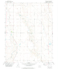
1978 · Kinney Lake
USGS Topo · 1:24,000
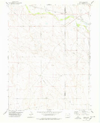
1978 · Aroya
USGS Topo · 1:24,000
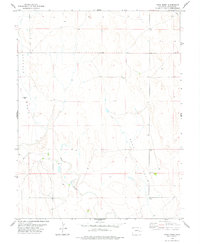
1978 · Rock Basin
USGS Topo · 1:24,000