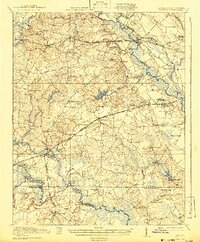
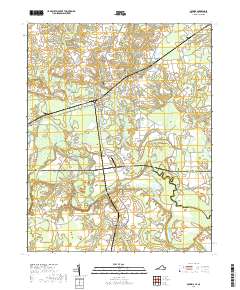
1920 Map of Boykins
USGS Topo · Published 1942About this map
The Nottoway River and Meherrin River anchor this rural Southampton County landscape as it appeared just after World War I. The area is defined by a dense network of small communities and rural institutions, reflecting a period of localized agrarian life and early industrial milling. Notable settlements like Courtland and Boykins serve as regional hubs, while smaller locales such as Newsoms and Hand Sta Handson PO are connected by the Southern Railway and the Seaboard Air Line.
Find a feature on this map
76 named features on this map. Tap any name to fly to it.
Don’t see what you’re looking for? This feature index may not catch every label — zoom into the map to look around manually.
Map Details
Editions of this 1920 Boykins Map
2 editions found
Historical Maps of Courtland Through Time
9 maps found
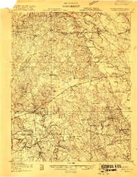
1919 Boykins
Southampton County, VA
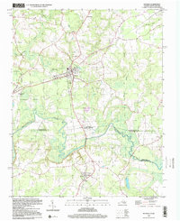
1920 Boykins
Southampton County, VA
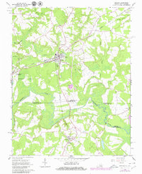
1966 Boykins
Southampton County, VA
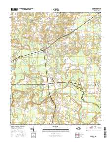
1997 Boykins
Southampton County, VA
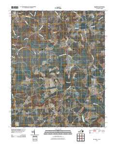
2010 Boykins
Southampton County, VA
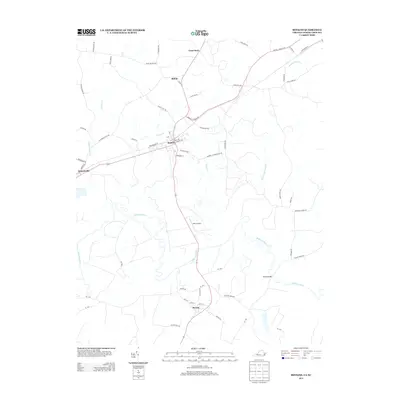
2013 Boykins
Southampton County, VA
2016 Boykins
Southampton County, VA
2019 Boykins
Southampton County, VA
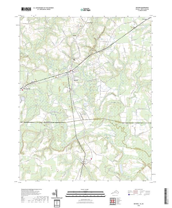
2022 Boykins
Southampton County, VA