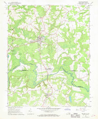
1966 Map of Boykins
USGS Topo · Published 1968About this map
Boykins serves as a central hub on this mid-1960s survey, where the Seaboard Coast Line railroad intersects with local roads leading toward the border of Virginia and North Carolina. The landscape is defined by the winding course of the Meherrin River, which carves through the lowlands of Southampton and Northampton Counties. Extensive swamp networks, including the broad Buckhorn Swamp and Flat Swamp, dominate the western half of the quadrangle, illustrating the challenging drainage patterns of the coastal plain.
Find a feature on this map
34 named features on this map. Tap any name to fly to it.
Don’t see what you’re looking for? This feature index may not catch every label — zoom into the map to look around manually.
Map Details
Editions of this 1966 Boykins Map
2 editions found
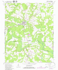
Other maps of this area

1919 · Boykins
USGS Topo · 1:48,000

1919 · Arringdale
USGS Topo · 1:48,000

1920 · Boykins
USGS Topo · 1:62,500

1920 · Arringdale
USGS Topo · 1:62,500

1942 · Arringdale
USGS Topo · 1:62,500

1953 · Norfolk
USGS Topo · 1:250,000
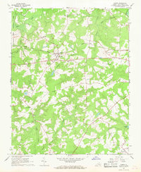
1966 · Capron
USGS Topo · 1:24,000
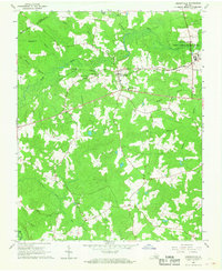
1966 · Drewryville
USGS Topo · 1:24,000

1966 · Margarettsville
USGS Topo · 1:24,000

1966 · Sunbeam
USGS Topo · 1:24,000