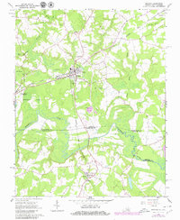
1966 Map of Boykins
USGS Topo · Published 1980About this map
Boykins stands as a primary hub on this coastal plain landscape where the Seaboard Coast Line railroad dictates the pattern of growth and transport. In the 1960s, the surrounding area maintained a distinct agrarian and low-lying character, defined by extensive wetlands like Buckhorn Swamp and Flat Swamp. The Meherrin River meanders across the border between Virginia and North Carolina, serving as a natural boundary for Southampton, Hertford, and Northampton counties. Small communities such as Branchville and Severn are anchored by local institutions like Meherrin Sch and Galilee Ch. This map reveals the transition of the mid-20th-century landscape, from the industrial infrastructure of the Substation and Sewage Disposal sites near town to the private Mann Airstrip, reflecting the varied economic activities of the Tidewater region.
Find a feature on this map
30 named features on this map. Tap any name to fly to it.
Don’t see what you’re looking for? This feature index may not catch every label — zoom into the map to look around manually.
Map Details
Editions of this 1966 Boykins Map
2 editions found
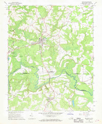
Other maps of this area

1919 · Boykins
USGS Topo · 1:48,000

1919 · Arringdale
USGS Topo · 1:48,000

1920 · Boykins
USGS Topo · 1:62,500

1920 · Arringdale
USGS Topo · 1:62,500

1942 · Arringdale
USGS Topo · 1:62,500

1953 · Norfolk
USGS Topo · 1:250,000
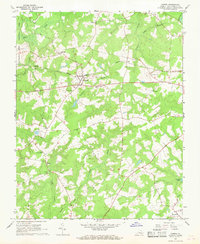
1966 · Capron
USGS Topo · 1:24,000
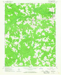
1966 · Drewryville
USGS Topo · 1:24,000

1966 · Margarettsville
USGS Topo · 1:24,000

1966 · Sunbeam
USGS Topo · 1:24,000