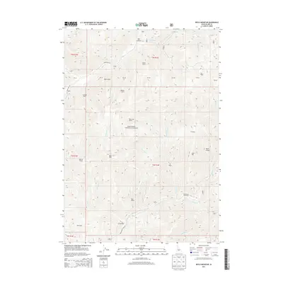
2013 Map of Boyle Mountain
USGS Topo · Published 2013About this map
Sawtooth National Forest dominates this high-altitude terrain in Blaine County, Idaho, where deep glacial-cut gulches and canyons define the drainage patterns of the upper Wood River valley system. The map reveals a landscape primarily managed for recreation and natural preservation, centered on the confluence of several major alpine streams. The northern half is oriented around Baker Creek and its eastern fork, providing access to the Baker Creek Campground via Baker Creek Road. To the south, the terrain becomes increasingly steep as it approaches the heights of Boyle Mountain and the prominent Castle Rock. The presence of established sites like Rooks Creek Campground along Warm Springs Creek indicates the long-standing importance of these valley corridors for forest access and seasonal grazing. The nomenclature of features such as Blue Clay Gulch and Boyer Gulch suggests early mining or ranching associations, though by this era, the area is firmly established as public wildland.
Find a feature on this map
36 named features on this map. Tap any name to fly to it.
Don’t see what you’re looking for? This feature index may not catch every label — zoom into the map to look around manually.
Map Details
Editions of this 2013 Boyle Mountain Map
This is the sole edition of this map. No revisions or reprints were ever made.
Other maps of this area
1895 · Hailey
USGS Topo · 1:125,000
1897 · Hailey
USGS Topo · 1:125,000
1900 · Sawtooth
USGS Topo · 1:125,000

1955 · Hailey
USGS Topo · 1:250,000

1959 · Hailey
USGS Topo · 1:250,000

1962 · Hailey
USGS Topo · 1:250,000
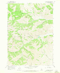
1967 · Mahoney Butte
USGS Topo · 1:24,000
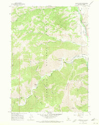
1967 · Griffin Butte
USGS Topo · 1:24,000
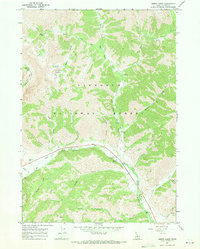
1967 · Amber Lakes
USGS Topo · 1:24,000
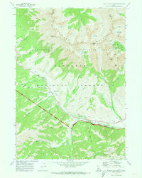
1970 · Easley Hot Springs
USGS Topo · 1:24,000